Working with Point Cloud Data in QGIS
- Time1:30 - 4:30 CET (UTC+1)
- Duration2 sessioner (4 t)
- Price1850 dkk - €250 excl. VAT
- PlaceOnline
- TeacherKurt Menke
Course content
Point cloud support was first added to QGIS in 2021 at version 3.18. With the release of QGIS version 3.32 in 2023, the point cloud functionality in QGIS greatly increased to include native point cloud processing algorithms.
This course is designed for those who are already familiar with QGIS, but want to expand their skills and learn to work with point cloud data. The course will begin with the basics: What are point cloud data and what can you do with them? The introduction will also introduce the different supported file formats along with sources for obtaining open point cloud data.
You will then learn to process point cloud data. Just as with vector and raster data, point cloud data often need to be processed before use. Here you will learn to merge, clip and filter the data for your specific project. Once processed you will learn to visualize the data. This section will include both 2D & 3D. The course will conclude with automating point cloud processing using PDAL wrench, which is included with QGIS.
This three hour course will teach you everything you need to know to begin working with point cloud data!
In the course you will be learning about:
- Introduction to Point Cloud data
- Structure and features of a point cloud dataset
- Supported formats
- Sources
- Downloading and processing point cloud data:
- Build virtual point cloud (VPC)
- Merge
- Clip
- Filter
- Converting to raster
- Configuring and using the LasTools plugin
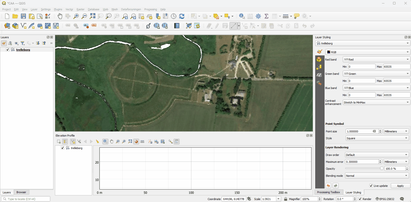
- Styling and visualizing point cloud data in QGIS
- 2D
- Elevation profiles
- 3D
- Point Cloud Processing with PDAL Wrench
Course format
The course consists of:
- An introductory video
- One three-hour class session
- An assignment to be completed after the course session
- One question / answer session with the opportunity to ask questions about point cloud data with QGIS and any issues encountered
Introductory video: One week before the course starts you will receive an introductory video with an introduction on point cloud data.
Course session: During the live course, Kurt Menke will lecture about working with point cloud data in QGIS.
Assignments: To support learning, after the course session you will be assigned a short assignment taking approximately 1-2 hours to complete.
Question/answer session: This will be held one week after the course session. During this session you have the opportunity to ask questions about point cloud data and any issues encountered.
In addition you will receive a brief manual and a recording of the course session.
Course dates
- Course Session: Tuesday 30 April from 13:30 - 16:30 (CET)
- Question/answer session: Tuesday 7 May from 14:00 - 15:00 (CET)
Course price
1400DKK - €190 excluding VAT
QGIS certified course
The course is certified by the QGIS organization, which has approved the material and the course program. You will receive an official certificate after completing the course.
Practical information
The course is held in English.
QGIS 3.34 is used for the course. You must ensure that you have access to a computer with this version of QGIS (or later version of QGIS) installed before the course. QGIS with either the Danish or English translation can be used.
Register before: 19 April 2024.
Contact Kurt kurt@septima.dk, if you want to hear more about the course.
Registration
Kurset er udskudt.